Tampa faces layered flood risk from Gulf storm surge, river flooding, and intense urban rainfall, and large portions of the city sit in FEMA-designated high-risk flood zones.
Quick Answer
Yes, Tampa is at significant risk of flooding from multiple sources. FEMA Flood Zone Maps designate large portions of Tampa in AE and VE zones, which represent the 100-year and coastal high-hazard floodplains respectively. NOAA research consistently identifies Tampa Bay as one of the most vulnerable urban areas in the continental United States for storm surge, with potential inundation of 10 to 20 feet in a direct major hurricane landfall scenario. Beyond catastrophic storm surge, Tampa also experiences routine urban flooding during the wet season (June through September) when NOAA records show monthly rainfall averaging 7 to 9 inches.
Property-level flood risk varies significantly by neighborhood. South Tampa coastal areas near Tampa Bay and Davis Islands carry the highest FEMA classifications. Inland neighborhoods like Carrollwood and Town 'N' Country face lower storm surge exposure but still experience significant urban flooding from high-intensity rainfall during Hillsborough County's wet season. Hillsborough County emergency management has updated evacuation zone maps multiple times in recent decades as sea level rise data from NOAA has shifted baseline flood calculations, and Florida DBPR-licensed contractors operating under Florida Building Code Chapter 15 are required to account for flood zone designations when designing waterproofing and drainage systems.
Key Takeaways
FEMA designates large areas of Tampa in AE and VE flood zones representing the 100-year and coastal high-hazard floodplains
Tampa Bay storm surge potential exceeds 15 feet in a direct major hurricane scenario according to NOAA models
Routine urban flooding occurs multiple times per year during Tampa wet season (June to September)
South Tampa and Davis Islands carry the highest flood risk; Carrollwood and Town N Country face lower but real urban flood exposure
Sea level rise documented by NOAA is amplifying effective storm surge heights each decade, increasing risk even without more intense storms
FEMA Flood Zone AEFEMA Flood Zone VENOAA Storm Surge DataTampa BayHillsborough RiverHurricane SeasonNational Flood Insurance ProgramSea Level RiseHillsborough County Emergency MgmtFlorida Building Code Ch. 15Florida DBPRUrban FloodingBase Flood ElevationEvacuation ZonesStorm Surge
The short answer
Tampa ranks among the most storm surge-vulnerable cities in the US according to NOAA, with potential surge exceeding 15 feet near the bay
Large portions of South Tampa, Davis Islands, and waterfront areas sit in FEMA AE and VE flood zones
Urban flooding from heavy rainfall affects all Tampa neighborhoods multiple times per year during wet season
Sea level rise documented by NOAA is gradually increasing effective flood heights without requiring stronger storms
Property-level mitigation including exterior waterproofing, proper grading, and sump systems is the most actionable defense for individual homeowners
How serious is Tampa Bay storm surge risk compared to other Florida cities?
NOAA and National Hurricane Center models consistently identify Tampa Bay as exceptionally vulnerable to storm surge because of the bay's geometry: it is a shallow, enclosed body of water oriented toward the southwest, directly in line with hurricanes tracking northeast from the Gulf of Mexico. When a major hurricane pushes water onshore at Tampa Bay, the shallow coastal shelf and funnel shape of the bay concentrate surge rather than dispersing it. Scenarios modeled by NOAA for a Category 4 hurricane making landfall directly at Tampa show potential surge of 15 to 20 feet in the most exposed coastal neighborhoods, which would be catastrophic for areas that currently sit 5 to 10 feet above sea level.
The last direct major hurricane hit on Tampa was in 1921, before the city's current level of development. That storm produced surge documented at 10 to 11 feet in areas that are now densely populated residential and commercial zones. NOAA sea level data shows Tampa Bay water levels have risen measurably since 1921, meaning a repeat storm today would produce higher effective surge on top of modern sea level. Hillsborough County emergency management uses FEMA Flood Zone Maps and National Hurricane Center surge models to maintain current evacuation zones, which have been updated multiple times as sea level projections have been revised upward.
How often does Tampa flood outside of hurricanes?
Urban flooding from high-intensity rainfall is a regular occurrence in Tampa during the wet season, which runs from June through September. NOAA records show Tampa receives approximately 46 inches of rainfall annually, with roughly half falling in those four months. During strong convective storms, hourly rainfall rates can exceed 3 inches, overwhelming stormwater systems and causing street and yard flooding across all neighborhoods, not only in low-lying areas. Hillsborough County's stormwater management program has invested heavily in drainage improvements, but portions of the system were designed for older storm intensity patterns that no longer reflect current wet-season norms.
Riverine flooding from the Hillsborough River and its tributaries affects neighborhoods in North Tampa and areas near the river corridor. When tropical systems produce sustained heavy rainfall over several days, the Hillsborough River can exceed flood stage and inundate floodplain areas mapped by FEMA as AE zones along the river corridor. Property managers and homeowners in these areas face a compound risk: river flooding from upstream rainfall plus storm surge from coastal systems can arrive simultaneously or in quick succession, as occurred during multiple wet seasons in recent years. Florida DBPR-licensed contractors working in these neighborhoods routinely specify both foundation waterproofing and interior drainage systems to manage the combined threat.
What do FEMA flood zone designations mean for Tampa homeowners?
FEMA Flood Zone Maps divide Tampa into zones based on statistical flood frequency and severity. Zone VE, which covers bay-front properties and barrier areas, represents the coastal high-hazard area where wave action combines with surge, making these the highest-risk zones on the map. Zone AE covers the 100-year floodplain, meaning the area has a 1 percent or greater annual chance of flooding, which translates to roughly a 26 percent chance of flooding during a 30-year mortgage term. This zone covers large portions of South Tampa, areas along the Hillsborough River, and low-lying sections of Westchase. Zone X (shaded) covers areas with moderate flood risk between the 100-year and 500-year floodplain.
For homeowners, FEMA flood zone designation has direct financial consequences. Properties in AE and VE zones typically require separate flood insurance as a mortgage condition when the loan is federally backed (FHA, VA, or conventional loans sold to Fannie Mae or Freddie Mac). National Flood Insurance Program premiums vary by property elevation relative to the Base Flood Elevation shown on FEMA Flood Zone Maps. Properties with finished floors at or above Base Flood Elevation pay lower premiums, creating a financial incentive for elevation certificates and flood-proofing improvements. Hillsborough County Building Department uses Base Flood Elevation as a minimum finished floor height for new construction and substantial improvements in flood zones.
How is sea level rise changing Tampa flood risk over time?
NOAA tide gauge data at St. Petersburg (across Tampa Bay) shows measurable sea level rise of approximately 8 to 10 inches since 1950. While this may seem modest, it has real consequences for flood risk: each inch of sea level rise lowers the storm category required to produce a given surge height. NOAA projections for the Tampa Bay area under intermediate sea level rise scenarios show an additional 1 to 2 feet of sea level rise by 2050, which would push the effective storm surge risk of a Category 2 hurricane closer to what today's models show for a Category 3. Hillsborough County emergency management officials have cited these projections in recent updates to evacuation zone boundaries.
For individual homeowners, sea level rise means that flood risk is not static: properties that fall just outside FEMA AE zones today may be reclassified in future FEMA map updates. FEMA conducts map revisions on a rolling basis using updated elevation surveys and hydrological modeling. Tampa homeowners within one to two feet of the AE zone boundary should consider proactive waterproofing investments rather than waiting for a formal FEMA reclassification. Florida Building Code Chapter 15 provisions for new construction already account for projected sea level rise in minimum floor elevation requirements in flood zones, and Florida DBPR-licensed contractors are trained to apply these standards in their work.
What specific waterproofing and flood-proofing steps can Tampa homeowners take now?
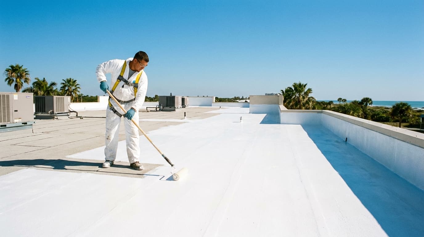
Property-level flood mitigation in Tampa starts with understanding your FEMA flood zone designation and your property's Base Flood Elevation. Homeowners can look up both through FEMA's Flood Map Service Center using their street address. Once you know your zone and elevation, the priority mitigation steps are grading the yard to direct surface water away from the foundation at a slope of at least 6 inches drop over 10 feet per Florida Building Code Chapter 15 guidance, installing exterior foundation waterproofing for below-grade walls, and placing a sump pump with battery backup in any below-grade space. Backflow prevention valves on sewer connections prevent floodwater from backing up through drains during high-intensity rainfall when municipal systems are overwhelmed.
For homes in FEMA AE or VE zones, a flood-proofing certificate issued by a Florida DBPR-licensed contractor or engineer can reduce NFIP flood insurance premiums by documenting that the structure meets or exceeds Base Flood Elevation standards. This certificate requires an elevation survey and an assessment of foundation and envelope flood-resistance. In South Tampa and waterfront neighborhoods, many homeowners have found that the premium savings over a 5-year period exceed the cost of the waterproofing improvements used to qualify for the certificate. NOAA recommends that all property owners in coastal areas review their flood insurance coverage annually as sea level and storm intensity projections are updated.
How does flood risk differ across Tampa neighborhoods?
South Tampa is Tampa's highest flood-risk area. Much of the peninsula sits in FEMA AE and VE zones, with some bayfront properties below current mean high tide during extreme tide events. Storm surge from a direct Gulf hurricane could inundate most of South Tampa with 8 to 15 feet of water per NOAA models. Licensed waterproofing contractors working in South Tampa routinely specify exterior membrane systems and sump pumps as standard rather than optional for any below-grade space.
What do Tampa homeowners ask most often about flood risk?
Yes. Tampa faces three distinct flood risks: storm surge from Gulf hurricanes, riverine flooding from the Hillsborough and Alafia rivers, and urban flooding from high-intensity rainfall events. FEMA Flood Zone Maps classify large portions of Tampa in AE and VE zones, and NOAA data shows Tampa Bay storm surge potential exceeds 15 feet in a worst-case Category 4 scenario.
Tampa properties fall into several FEMA flood zone designations. Zone VE covers high-velocity coastal areas near the bay with wave action risk. Zone AE covers 100-year floodplain areas including much of South Tampa, parts of Westchase, and areas along the Hillsborough River. Zone X (shaded and unshaded) covers areas of lower but non-zero flood risk, which includes most of Carrollwood and northern Hillsborough County.
Urban flooding in Tampa occurs multiple times per year during heavy rainfall events, particularly during the June through September wet season when NOAA records show Tampa averages more than 7 inches of rain per month. Major storm surge flooding is less frequent but far more destructive, with Hurricane Ian in 2022 and Tropical Storm Eta in 2020 both causing significant inundation in low-lying Tampa Bay neighborhoods.
Yes. Properties in FEMA AE and VE flood zones typically require separate flood insurance through the National Flood Insurance Program (NFIP) as a condition of federally backed mortgages. Properties in Zone X are not required to carry flood insurance but experience damaging floods often enough that many Tampa-area insurance advisors recommend coverage regardless of zone designation.
Tampa Bay is widely cited by NOAA and emergency management researchers as one of the most vulnerable urban areas in the United States for storm surge, largely because the geometry of Tampa Bay funnels surge directly into the city. Miami and Jacksonville face comparable hurricane exposure but different surge geometry. Tampa has not experienced a direct major hurricane hit since 1921, which means its vulnerability is underappreciated relative to the actual risk.
Property-level flood mitigation in Tampa includes elevation (raising finished floor above Base Flood Elevation), exterior waterproofing of below-grade walls, installation of sump pumps with battery backup, backflow prevention valves on sewer lines, and proper grading to direct surface runoff away from the foundation. FEMA offers flood-proofing certificates through licensed contractors that can reduce NFIP premium costs.
According to NOAA sea level rise data, Tampa Bay has experienced measurable sea level rise over the past century, and projections show continued increase. Higher baseline sea levels amplify storm surge heights, meaning a Category 2 storm in 2040 may produce surge comparable to a Category 3 storm today. Hillsborough County emergency management has updated evacuation zone maps in recent years to reflect this changing baseline.
What should Tampa homeowners do right now about flood risk?
Look up your FEMA zone
Enter your address at FEMA's Flood Map Service Center to see your exact zone designation and Base Flood Elevation. Zone AE or VE means actionable flood risk today, not hypothetical.
Check your insurance
Confirm whether your homeowners policy includes flood coverage or if you need a separate NFIP or private flood policy. Properties in Zone X can still flood and are frequently uninsured when they do.
Grade away from the foundation
Confirm your yard slopes away from the house at minimum 6 inches of drop per 10 feet. Flat or reversed grading is one of the most common causes of foundation water intrusion in Tampa during heavy rain events.
Call for a licensed inspection
A Florida DBPR-licensed contractor can assess your foundation, identify intrusion risks, and recommend waterproofing or drainage improvements that may qualify for an NFIP flood-proofing certificate and premium reduction.
Tampa's flood risk is real, layered, and growing with each incremental rise in sea level documented by NOAA. Understanding your FEMA flood zone, keeping your foundation waterproofed and well-drained, and maintaining flood insurance appropriate to your zone are the three most impactful things a Tampa homeowner can do today. AquaBarrier Solutions provides licensed waterproofing inspections and exterior system installation across South Tampa, Carrollwood, Westchase, Seminole Heights, and Town 'N' Country, all performed in compliance with Florida Building Code Chapter 15 and Hillsborough County Building Department standards.